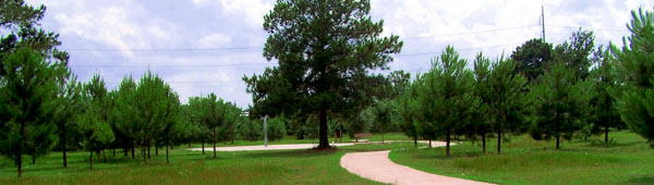
Overview
HPARD is in the process of evaluating and adjusting its Master Plan, last published in 2008. The plan gives direction for the growth of the city’s park system for the next twenty years. The Master Plan is revisited every 5 years to evaluate and make adjustments based on physical, social, policy and technological changes so that it remains a relevant guidance document. Since 2007, the City of Houston has been divided into 21 Park Sectors and park need analysis at this level is being done in Phase II of the Master Plan.
Master Plan Survey Currently Underway
We need your input, as a resident who uses the park system, to enhance this assessment by providing input on priorities of the items that need to be addressed first with available funding. Currently, a Master Plan Survey is being conducted and you can participate by taking the survey. The survey is available in both English and Spanish and the results can help us shape the new Park Master Plan.
Master Plan Survey English Version
Master Plan Survey Spanish Version
International District Residents are in Park Sector 18
To determine which Park Sector you live in, please go to http://mycity.houstontx.gov/public/. For a step by step tutorial on How to Find Your Park Sector please view the following video.
Park Sectors Map (printable pdf)
How to Find Your Houston Park Sector Number
YouTube Video
To receive a Master Plan Survey, e-mail us at [email protected].
To Stay Involved
Eight Parks Master Plan Phase II community meetings will be scheduled soon. Several abutting Park Sectors will be addressed at each meeting.
HPARD performed a year-long initial assessment of each Park Sector in the city with support from the Planning and Development, the Health and Human Services and the Housing and Community Development Departments of the City of Houston, the Houston Parks Board, and the Center for Sustainability at Rice University. Volunteer Interns from the University of St. Thomas, Texas A&M, Lone Star College, and Texas Southern University were indispensable in this effort. Maps of areas of park need were created using data provided by the Trust for Public Land ParkScoreTM Project. HPARD continues to partner with the Trust for Public Land to improve methodology and assess park needs specific to Houston.


![]()
![]()
![]()
![]()
![]()


Leave A Comment